Enterprise Drone Services · Aerial Intelligence
Drone operations and technology company serving construction, public safety, agriculture, facilities, and infrastructure. Ontario-based, nationally capable.
From site documentation to emergency response, our certified team delivers actionable aerial data across the industries that need it most.
Sky's No Limit operates across two distinct verticals: enterprise drone operations serving five industries, and a technology branch building the products that will define aerial intelligence for the future.
The operations side captures data. The technology side turns it into decisions. Two products in development, both designed to eliminate manual review from aerial workflows.
Upload imagery from any source. The platform detects defects, classifies severity, and generates prioritized action reports. No manual review. No missed anomalies. Works across every sector we serve.
Y Combinator-BoundCoordinated multi-drone sports broadcasting via swarm-based system. Multiple synchronized aircraft providing dynamic, real-time aerial perspectives for live events.
In DevelopmentA drone in the air is worthless if nobody acts on what it sees.
We fly for data, not for footage. You tell us the site, the goal, and the deadline. We put a deliverable in your project manager's hands.
Two Transport Canada certified operators delivering enterprise-grade aerial data. Ontario-based, with Canada-wide availability for enterprise contracts. Every mission is planned and flown to get data into your existing reporting workflow on time, in the right format, and ready to use.
We work directly with project leads, safety managers, and operations teams to ensure safe execution of operations and the delivery of accurate, useful data.
Transport Canada Advanced RPAS certified. Level 1 Complex in progress, the highest level available for commercial drone operators in Canada.
Redundancy, wider coverage, and the ability to execute complex multi-operator missions that single-operator companies cannot.
Our goal is processed, actionable outputs, not raw footage. Georeferenced maps, thermal reports, and annotated inspection packages.
Not locked to a single aircraft. We procure or rent enterprise-grade DJI or equivalent platforms to match every mission requirement.
Headquartered in Ontario with the ability to deploy anywhere in Canada for enterprise contracts.
Standard deliverables shipped within one business day of capture. Complex processing packages inside 72 hours: named, formatted, and ready for your workflow.
Pursuing the highest levels of Transport Canada certification for commercial drone operations. Each level unlocks capabilities most operators cannot legally offer.
Capabilities most Canadian operators cannot legally offer.
We match each mission with the right aircraft, payload, and processing workflow. Our enterprise fleet supports high-resolution imaging, thermal inspection, LiDAR capture, mapping, 3D reconstruction, and field-ready reporting for complex operations.
Aircraft
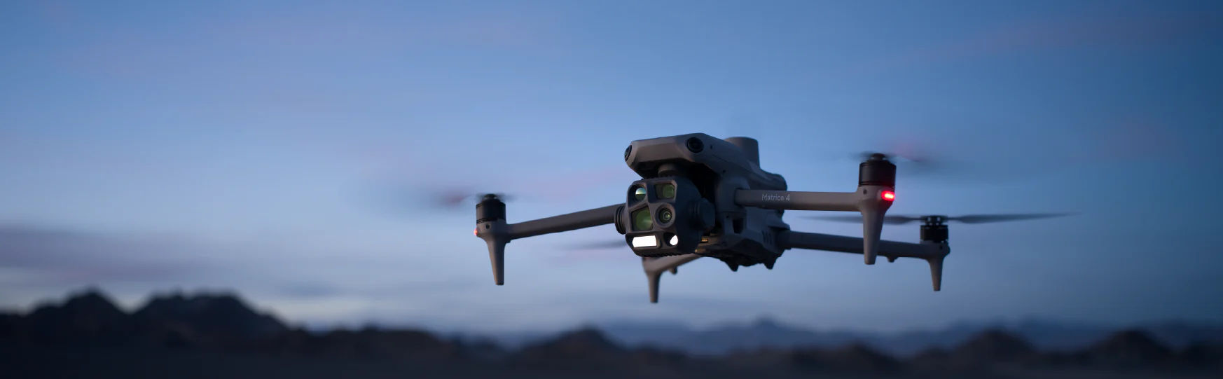
Enterprise platform for complex operations, advanced payload support, infrastructure inspection, mapping, and high-value site data capture.
Compact enterprise thermal platform for rapid deployment, inspection, public safety support, and situational assessment.
High-resolution imaging platform for aerial photography, site documentation, visual inspection, and general project capture.
Compact FPV platform for close-range visual perspectives, confined-area capture, and dynamic interior or site walkthrough footage where appropriate.
Payloads
LiDAR and mapping payload for high-accuracy terrain, site, and infrastructure data capture.
Thermal and high-zoom inspection payload for utilities, facilities, emergency assessment, infrastructure review, and operations support.
Onboard and edge-computing support for advanced processing, automation, and enterprise payload workflows.
Software & Tools
Processing and reconstruction software for maps, models, inspection outputs, and workflow-ready deliverables.
Survey pole and tripod kit for positioning and ground-control workflow support. High-precision mapping, aerial surveying, control point collection, and repeatable site data capture.
The operations side of our business captures data. The technology side turns the data into actionable insights. Our automated visual inspection software is designed to eliminate manual review from workflows.
Our platform ingests aerial imagery and outputs structured findings. Defects, anomalies, and measurements are flagged automatically with GPS coordinates and confidence scores.
Visual inspection software built for drone-captured data. Trained models identify structural defects, thermal anomalies, and site changes. Your team reviews findings, not footage.
Learn MoreWe learn your project requirements, location, and data needs. We handle airspace assessment and regulatory pre-checks.
Flight plans, permits, and equipment selection confirmed. Two certified operators assigned for complex operations.
Certified flight execution with real-time monitoring. Safety protocols and Transport Canada compliance throughout.
Processed outputs delivered; reports, orthomosaics, thermal overlays, or video formatted for your workflow.
Describe the site and the objective. We'll scope the mission and send a flight plan within one business day.